Habitat Restoration Database: Muskegon Lake Area of Concern
NOAA-GLC Regional Habitat Restoration PartnershipMuskegon Lake Area of Concern Habitat Restoration Database
Restoration Outcomes
| Project Title | Total Upland/Riparian Habitat Restored | Total Phosphorus Removed | Total Streambank and Shoreline Restored | Total Wetland Restored | Debris Removed | Total Fish Habitat Restored | Total Native Plant Habitat Restored | Total Hydrologic Reconnection |
|---|---|---|---|---|---|---|---|---|
| Bear Creek | 36.4 acres | 120,346 cubic yards | 2,015 linear feet | 27.2 acres | ||||
| Mill Debris | 13.99 acres | 87,652 metric tons | ||||||
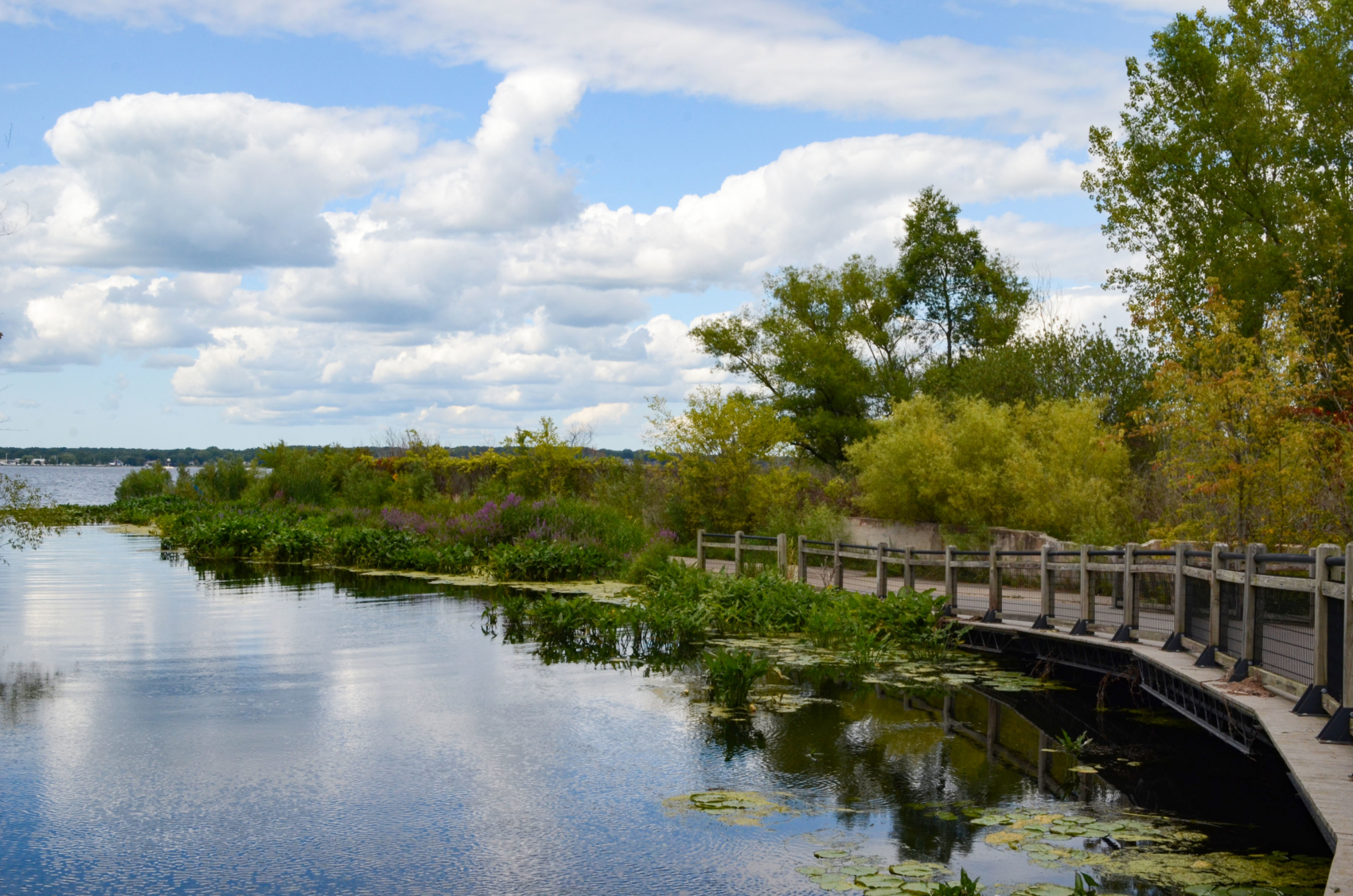
| Veterans Park | 6,025 linear feet | 11 acres | 1 acre | 5.4 acres | 9.3 acres | |||
| Lower Muskegon River | 2,739 linear feet | 49.1 acres | 29,900 metric tons | |||||
| Amoco | 350 linear feet | 9.6 acres | 2,686 metric tons | |||||
| MERES | 3.5 acres | 4 acres | ||||||
| Boys & Girls Club | 480 linear feet | 0.25 acres | 700 metric tons | |||||
| Total | 36.4 acres | 120,346 cubic yards | 11,609 linar feet | 114.64 acres | 120,938 metric tons | 1 acre | 9.4 acres | 9.3 acres |
Eleven multi-phase habitat restoration projects were completed at Muskegon Lake, funded through NOAA-GLC Partnership awards NA13NMF4630217, NA16NMF4630341, and NA19NMF4630267. These projects aimed to provide habitat for native wildlife (fish, turtles, birds) and lake bottom communities, create and soften shoreline, and reconnect and restore wetlands.
The following metrics were collected during pre- and post- monitoring of the project sites:
Wildlife Data: Wildlife relocation data and avian observance data were collected at the Bear Creek restoration site. Herpetofauna species diversity and relative abundance data were collected at the MERES restoration sites. Macro invertebrate species diversity data were collected at the Amoco restoration site.
Vegetation Data: Pre- and post- restoration plant abundance and relative density were collected at the Mill Debris restoration site. Pre- and post- restoration plant species richness, cover, and biomass data are being collected at the Lower Muskegon River wetlands, Amoco, Heritage Landing, Veterans Memorial Park, and MERES restoration sites.
Fish Monitoring Data: Fish abundance, richness, and diversity were collected at the Veterans Park restoration site. Fish abundance data were collected at the Lower Muskegon River wetlands, Amoco, Heritage Landing, and Veterans Memorial Park restoration sites.
Soil Monitoring Data: Soil analysis sampleswere collected during pre- and post- restoration monitoring and tested for metrics such as total phosphorous, soluble reactive phosphorous, and toxicity characteristic leaching procedure at the Veterans Park, Lower Muskegon River wetlands, Amoco, Heritage Landing, and MERES restoration sites.
Water Quality Data: Samples were collected during pre- and post- restoration monitoring and tested for metrics such as pH, organic matter, macronutrients, soluble salts at the Veterans Park restoration site and metrics such as dissolved oxygen at the Veterans Park restoration site.
Project Documents
- Bear Creek Fish & Wildlife Relocation Data
- Bear Creek Waterfowl and Wading Bird Survey Report
- Mill Debris Monitoring Report
- Veterans Park Pre-Restoration Fisheries Monitoring Report
- Veterans Park Monitoring Raw Data
- Veterans Park Soil Monitoring Results 09-01-2015
- Veterans Park Soil Monitoring Results 11-05-2015
- MERES 90% Design Plans
- MERES Final Design Plans
- MERES 2019 Topographic Report
- MERES Final Herpetofauna Report
- MERES Soil & Groundwater Sampling Summary
- MERES As-Builts
- Lower Muskegon River Final Design Plans
- Lower Muskegon River As-Builts
- Lower Muskegon River Final Monitoring Report
- Lower Muskegon River Management Plan
- Lower Muskegon River Final Design
- Lower Muskegon River BEA Report
- Lower Muskegon River Habitat Assessment
- Lower Muskegon River Wetland Delineation Report
- Lower Muskegon River Flow Diagram
- Veterans Park Final Design Plans
- Veterans Park Final As-Builts
- Veterans Park Fisheries & WQ Report
- Veterans Park 2015 Sediment Report
- Veterans Park 2015 Pond Soil Results
- Veterans Park 2015 Shore Edge Soil Results
- Veterans Park 2016 Sediment Report
- Veterans Park 2016 Soil Borings Log
- Veterans Park 2016 Seismic Test Results
- Veterans Park 2017 Soil Results 1
- Veterans Park 2017 Soil Results 2
- Amoco Final Design Plans
- Amoco 2021 Vegetation Survey
- Amoco Pre-Restoration Water Delineation Report
- Amoco Pre-Restoration Sediment Sampling Tables
- Amoco Pre-Restoration Sediment Sampling Results
- Amoco As-Builts
- Heritage Landing As-Builts
- Ecological Monitoring Final Report
- Ecological Monitoring Data
- Boys & Girls Club As-Builts
- Boys & Girls Club Final Design
- Boys & Girls Club Soil Analysis
- Boys & Girls Club Wetland Determination Data Forms
- Muskegon Lake Nature Preserve Management Plan
- Muskegon Lake Nature Preserve Wetland Delineation
- Muskegon Lake Nature Preserve Soil and Groundwater Sampling Summary
Project Partners
WMSRDC
Grand Valley State University Annis Water Research Institute
Funding
Approximately $9 million has been awarded to these projects by the Great Lakes Restoration Initiative (GLRI). The GLRI is a federal program designed to protect and restore the largest system of fresh surface water in the world — the Great Lakes. The project funding was provided via the National Oceanic and Atmospheric Administration (NOAA), through a Regional Partnership with the Great Lakes Commission.
For More Information

Jill Estrada
Coastal Conservation and Habitat Restoration
Project Manager, Great Lakes Commission
734‐396‐6059 • [email protected]

Fallon Chabala
Project Manager, West Michigan Shoreline Regional Development Commission
231-722-7878 x 130
[email protected]
Sign up for our e-newsletter
Get the latest Great Lakes Commission news and events in your inbox!
Sign up for our e-newsletter
Get the latest Great Lakes Commission news and events in your inbox!